
In April 2022, I flew with a friend to Guadeloupe in the Caribbean. We took the train from Luxembourg to Paris and then a taxi from the train station to Paris Orly Airport, where we caught a plane for a 9-hour flight to Guadeloupe. We spent three days on the upper side of Grand-Terre and five days on Basse-Terre.
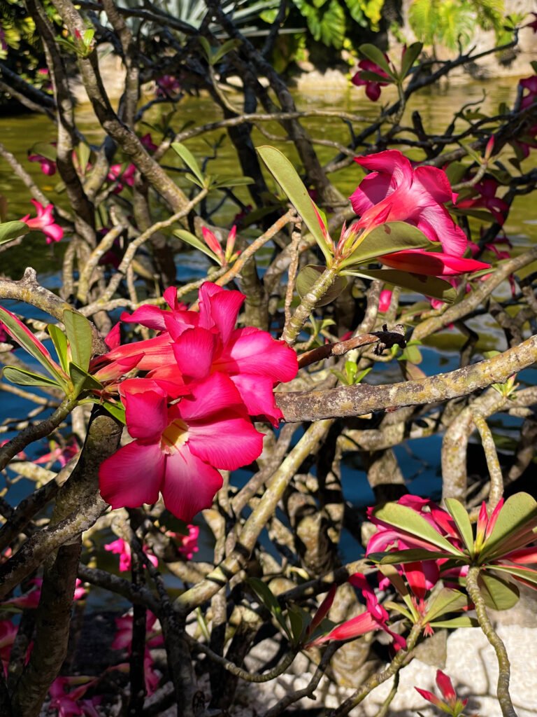
Our itinerary was packed as we tried to see as many places as possible. It was a mix of relaxing and exploring. We usually spent the mornings at the beach, and after lunch, we visited another place. I would still recommend spending at least two weeks there to fully experience everything the island has to offer. Personally, I preferred Basse-Terre as it is more tropical, with hikes to the volcano and waterfalls, and it boasts some of the most beautiful sunsets. Grande-Terre features more white sandy beaches with clear turquoise waters.
This article contains affiliate links, which means that I may earn a small commission, at no cost to you, for qualifying purchases.
Steal my itinerary
Plan your Trip
Where to stay?
It depends on the activities, but I would recommend staying somewhere in the middle of your activities so you don’t have to drive for a long time. Guadeloupe is not a small island but you can get from A to B from 15 minutes to 1.30 hours. On Grande-Terre, we stayed at Le Moule, and on Basse-Terre, at Trois-Rivières. I would recommend staying in local appartements, because the locals are just so friendly, openhearted and responsive. We even got a basket of local fruits!
Where to rent a car?
My go-to choice for renting a car is always DiscoverCars. This platform compares prices from multiple car rental agencies, allowing you to find the best deal. This saves both time and effort compared to searching for rentals independently.
What are the road conditions in Guadeloupe?
For driving in Guadeloupe, a small car like the Renault Clio is sufficient, but I would avoid something too small like a Fiat Panda. Most of the roads are well-maintained and in good condition. However, some mountainous roads, especially in Basse-Terre, can be bumpy and have sharp turns, making driving potentially dangerous. Avoid driving at night in these areas, as the roads may not be well-lit or marked. Also, be careful not to park under palm trees to avoid damage from falling coconuts.
What should I be cautious of when renting a car?
Always check the deposit requirements; some companies may ask for an unreasonable amount like 1000 euros. In my opinion, the average deposit should be around 200 euros, and I wouldn’t recommend paying more than that. Additionally, it’s usually best to book your car with a credit card, as most rental companies prefer this over a debit card. Make sure this payment information is mentioned in the rental description.
DAY 1
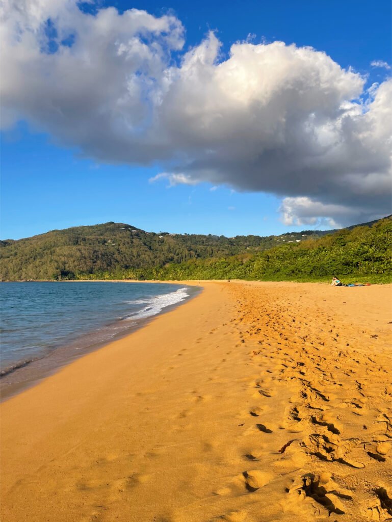
Beach Day at La Caravelle & Bois Jolan

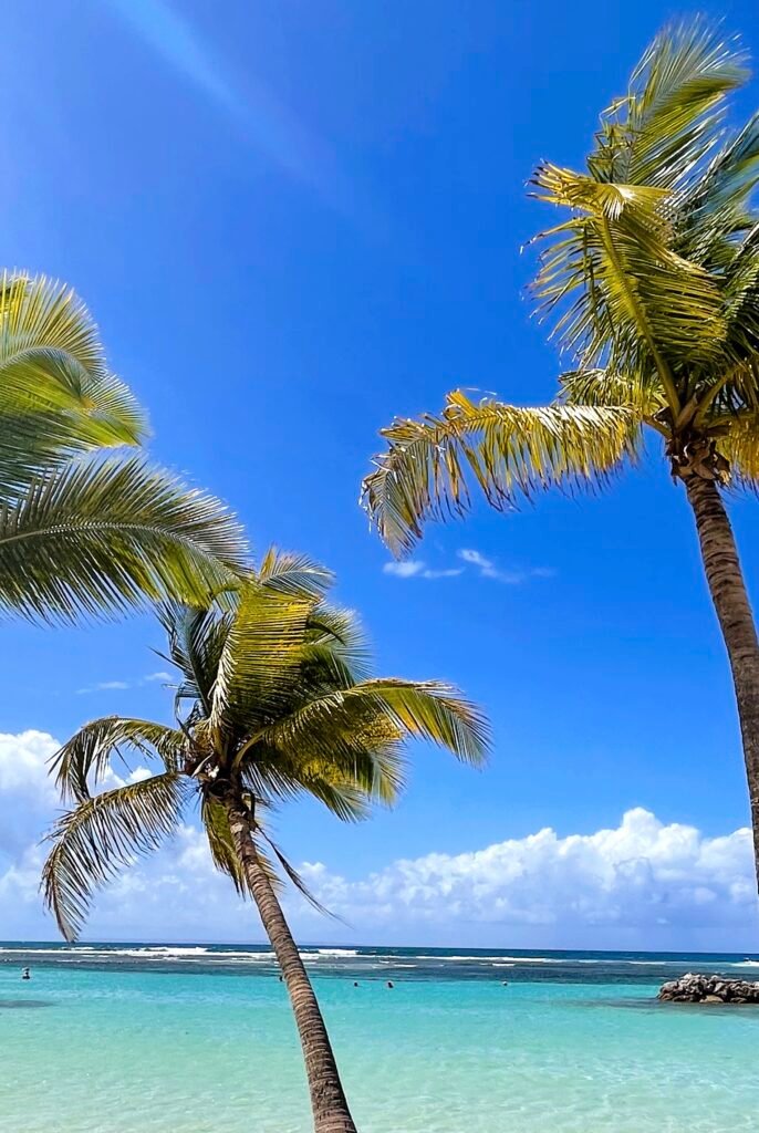
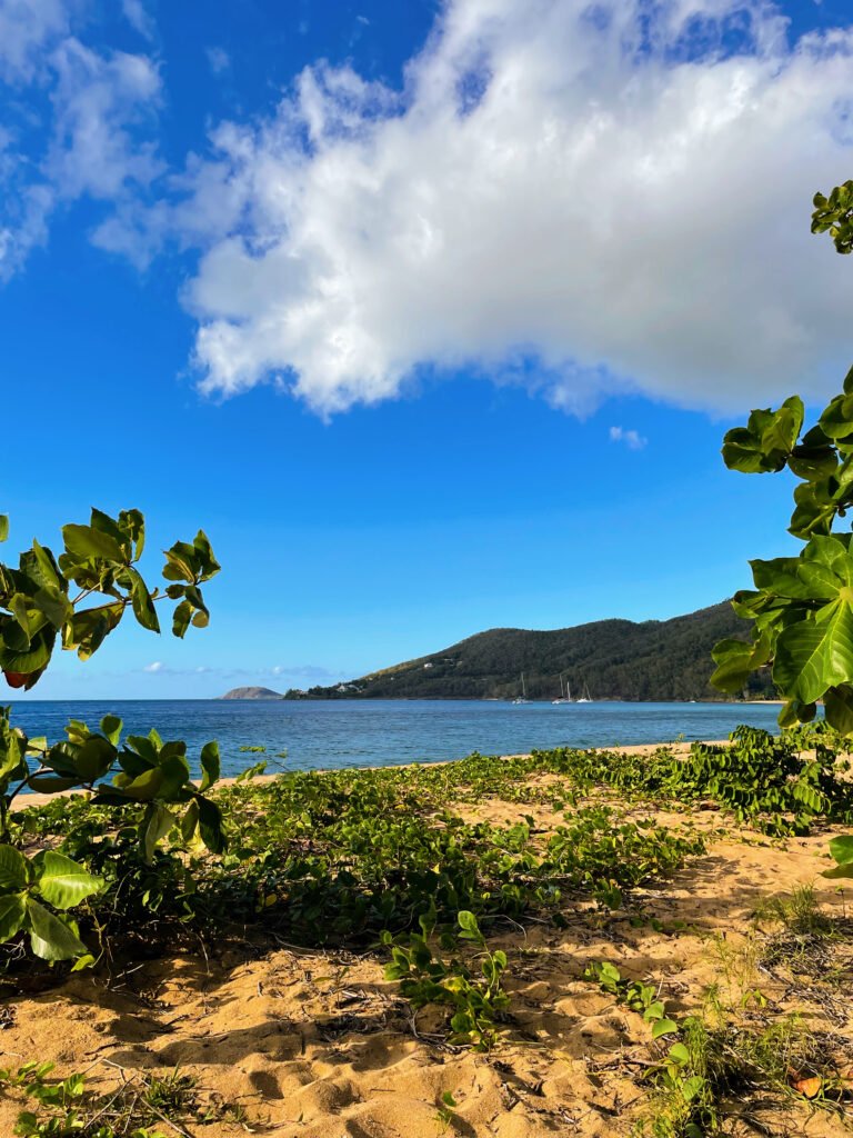
Sainte-Anne’s beaches are like a page from a dream travel guide. With their turquoise waters, warm sands, and palm trees, you really feel like you’ve stepped into paradise. There are three main beaches here: Plage du Bourg, Plage de la Caravelle, and Plage de Bois Jolan.
We started our morning at Plage de la Caravelle, enjoying both the sun and a delicious lunch, and then ended our day at Plage de Bois Jolan.
Plage de la Caravelle is a favorite among visitors but is spacious enough to find a quiet spot. It’s right at the entrance to Sainte-Anne and is celebrated for its stunning beauty. The water is crystal-clear, the sand is sparkling white, and coconut palms provide plenty of shade. It’s a fantastic spot for a day of relaxation, with conditions perfect for safe swimming and even some surfing and windsurfing.
Just a short 15-minute drive away is Plage de Bois Jolan. This beach is more expansive and natural, offering lots of secluded spots for a more private experience. It’s ideal for an afternoon escape or a family picnic, with warm, shallow waters that make it safe for kids to swim.

DAY 2
Excursion to the Grand Cul-de-sac-marin

We started our day with a boat trip to the Grand Cul-de-sac-marin, diving into the sapphire waters around three charming islets with picturesque beaches where the white sands merge seamlessly into the clear water.
Our journey began navigating through the “Mangrove,” where our tour guide shared insights into its rich biodiversity and vital role in the local ecosystem.
Our first stop was at Îlet la Biche, a small island now facing erosion from the sea. Despite its shrinking size, it remains a popular spot for visitors, featuring a sandy beach and a wooden shelter used by fishermen and yachtsmen. The islet feels like a mini tropical paradise with its crystal-clear waters inviting us to both relax and swim.
Next, we visited Îlet Caret, a narrow island about 250 meters long. It’s known for its shifting sands and lush vegetation, providing sanctuary to various bird species and sea turtles, including the Caret turtles that nest here seasonally. Positioned near the coral reef, the island’s waters are teeming with fish, making it a vibrant spot for snorkeling.

On our return, we stopped to explore a sunken ship, adding an adventurous twist to our trip before disembarking at Îlet Blanc.
Our final stop, Îlet Blanc, is a special place. Each year from spring to late summer, it’s closed to visitors to protect the nesting terns, known locally as “mauves”, and other bird species, marking it as an internationally recognized wetland for bird conservation.


DAY 3
Îlet du Gosier & Pointe des Châteaux
Morning at Îlet du Gosier
Our day began with a drive to Datcha Beach where we parked before hopping on a shuttle to Îlet du Gosier. The shuttle ride cost just 5 EUR for a round trip and took about 20 minutes.
Once on Îlet du Gosier, a must-see is the iconic red Gosier lighthouse. Built in 1928 and operating automatically since 1973, the lighthouse itself isn’t open for tours, but its vibrant brick-red color against white accents makes for stunning photographs.
The island also offers plenty of water sports like paddleboarding, kayaking, and snorkeling. Remember to bring your own snacks and drinks, as there are no facilities on the island.


Golden Hour at Pointe des Châteaux

For the golden hour, we drove to Pointe des Châteaux, located about an hour from Îlet du Gosier and 35 minutes from our Airbnb. This scenic spot at the tip of Grande-Terre is characterized by its rugged beauty and a large cross, reminiscent of the landscapes of Brittany. Here, you can see La Coulée, Anse à la Gourde, Anse Tarare, and even the island of La Désirade on the horizon.
The currents here are strong, making it more of a place to admire the dramatic scenery than going for a swim.If you’re looking to swim, head north to Salines Beach, known for its warm, calm, and clear waters. It’s a favorite spot for snorkeling among tropical fish.
A seasonal highlight at Pointe des Châteaux is whale watching, especially from March to May.


DAY 4
Heading to Basse-Terre
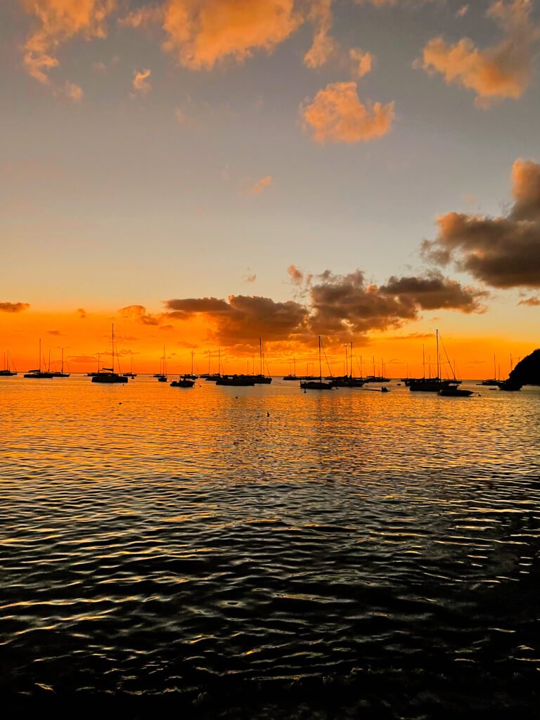
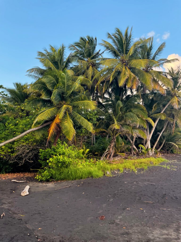
In the morning, we checked out and drove for an hour and a half to Basse-Terre, the other wing of Guadeloupe’s butterfly-shaped island. It was a relaxed day for us – we shopped at some local shops and the supermarket, cooked our own meals, drove through the palm-tree-lined Allée Dumanoir, reminiscent of LA, and watched the sunset from the black sand beach of Trois Rivières.
Facts about Allée Dumanoir:
Allée Dumanoir is a wide row of huge palm trees planted around 1850 by the Dumanoir family. This double row of royal palms led to the entrance of the Marquis de Brinon’s estate. This road is located at the entrance to Capesterre-Belle-Eau in the Basse-Terre / Pointe-à-Pitre direction.

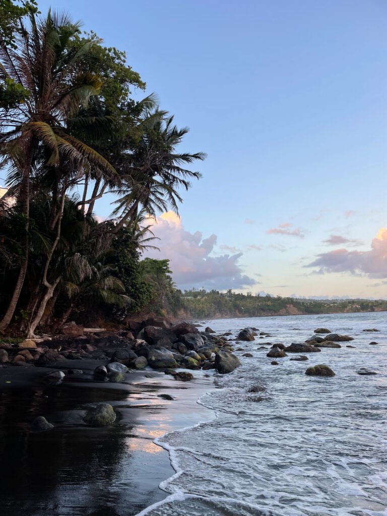
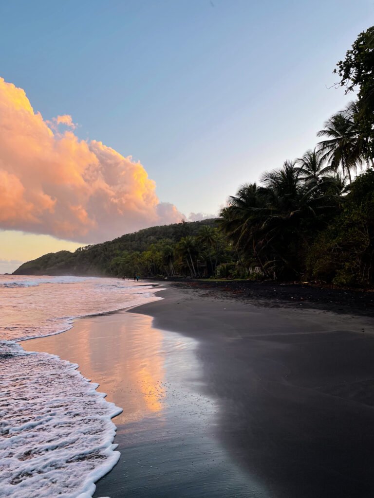
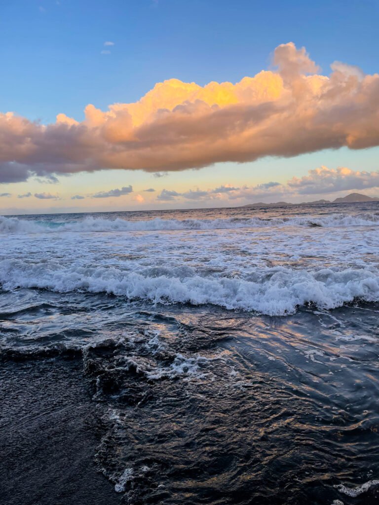
This black sand beach is located south of Basse-Terre in Trois-Rivières. It is the second Grande Anse beach and is easily recognizable and unforgettable due to its black volcanic sand. Although it may seem uninviting at first, the beach is quite captivating in its uniqueness. It features fine, soft black sand and is lined with coconut palms along a long stretch of shoreline. However, the presence of strong surf necessitates caution while swimming.
Grande Anse beach is also an excellent spot for watching sea turtles lay their eggs. On a clear day, it provides the perfect vantage point to see the archipelago of Les Saintes, which we visited on day 7.
DAY 5
Botanical garden & sunset at Grande Anse, Deshaies
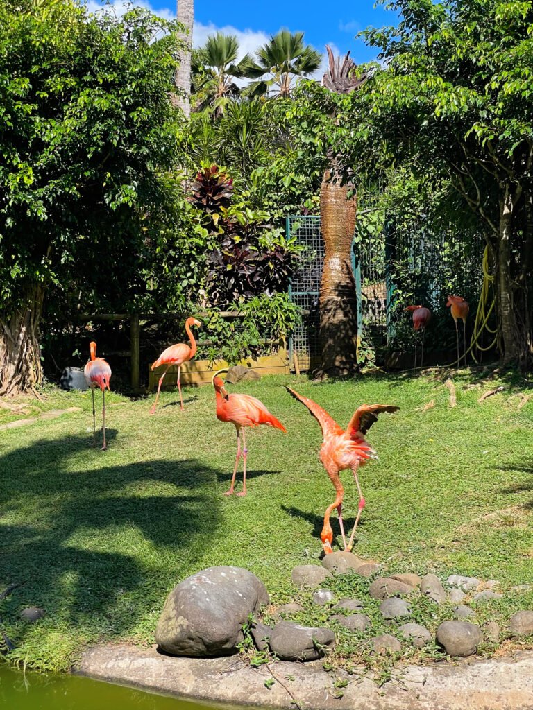
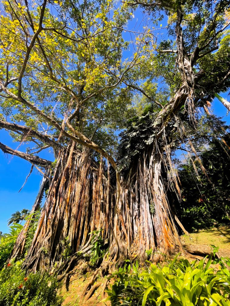
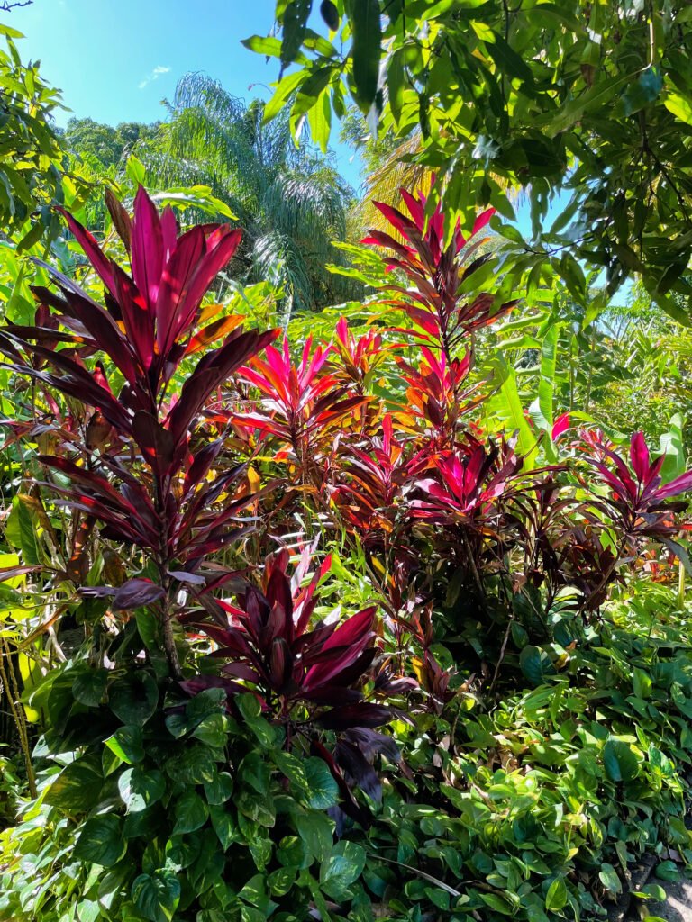
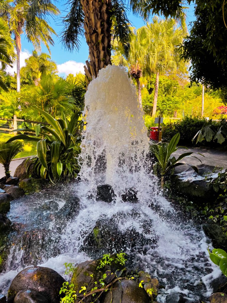
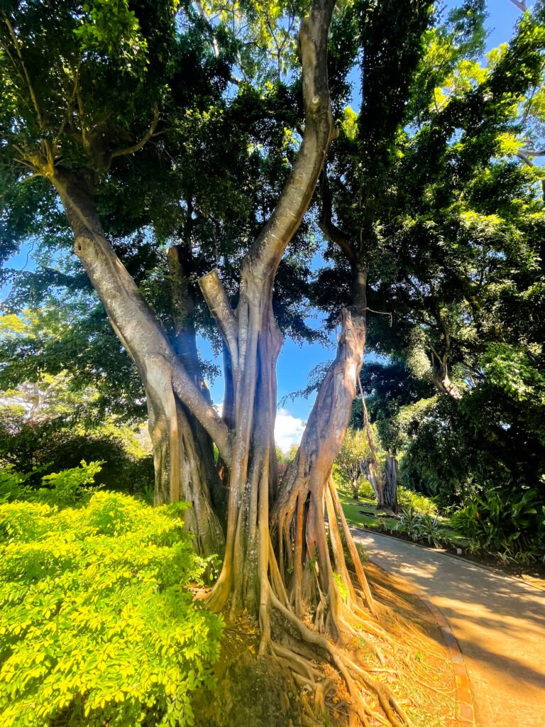
Visit to the botanical garden
On our fifth day, we drove to the north of Basse-Terre to Deshaies, just an hour from our Airbnb. We started our day at the botanical garden in Deshaies and ended it with one of the most beautiful sunsets in Guadeloupe at Grande Anse Beach.
Operating Hours: Open daily from 9 AM to 4:30 PM
What to see:
– Diverse range of exotic plants and flowers
– Animals: Pink Flamingos, Grouse, Koi Carp, and Parrots
Recommended visit duration: Approximately 1.5 to 2 hours
Best time to visit: To avoid crowds, visit between noon and 2 PM, especially during high season
Admission Fees:
– Adults: €17.50
– People with reduced mobility: €14.50
– Children (ages 5 to 12): €12
– Students: €10
– Children under 5: Free
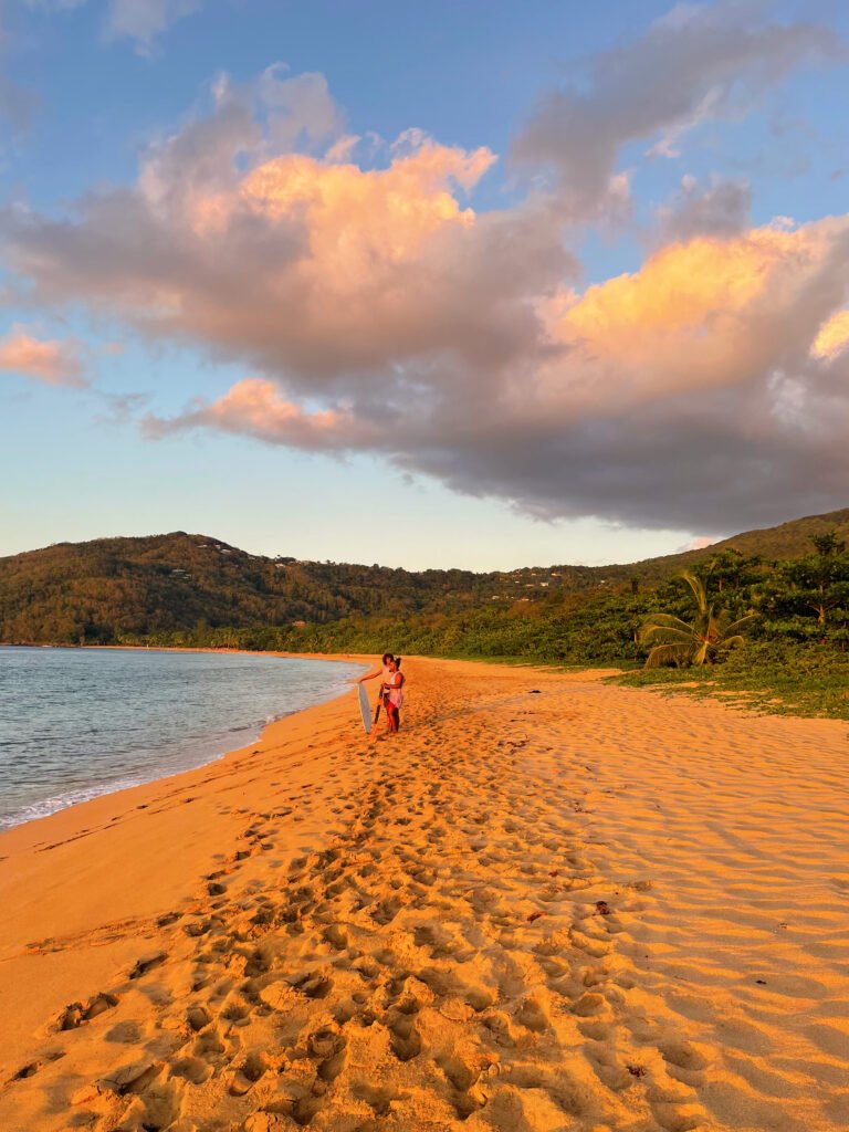
Sunset at Grande Anse beach
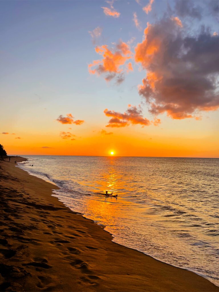
After the garden, we headed to Grande Anse beach in Deshaies to relax in the sun and catch a beautiful sunset. This long beach, with its golden sand, forms a crescent nearly 2 km long. If you enjoy beach walks, you’re in for a treat. Nestled in the heart of the rainforest, Grande Anse Beach will delight lovers of lush vegetation. The abundant greenery contrasts beautifully with the caramel-colored sand and the stunning blue waters. However, be cautious with children, as the waves can sometimes be quite strong.
They claim it’s the most beautiful beach to admire the sunset in Guadeloupe, and I can but confirm it: it’s picturesque indeed.
Finding a place for dinner in Deshaies can be tricky as restaurants get booked up quickly; I recommend making a reservation in advance to avoid disappointment.
DAY 6
Hike to the volcano “La Soufrière”
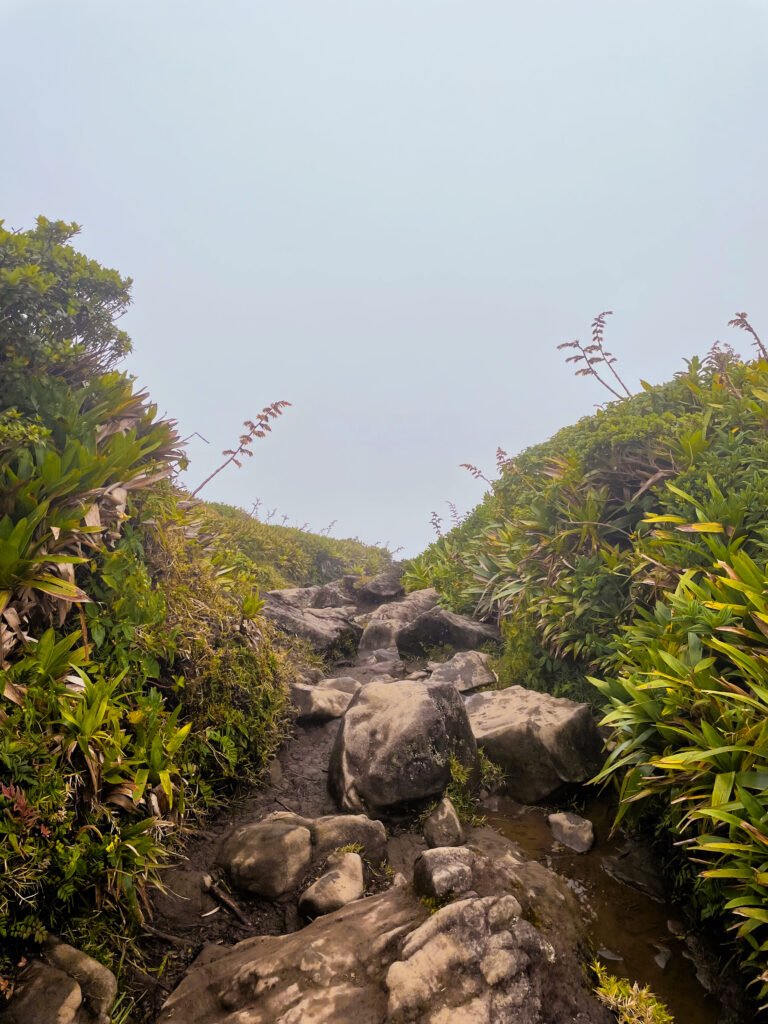
The summit of La Soufrière volcano is a must-see in Guadeloupe, where you can enjoy stunning views over the lush landscapes and surrounding seas. It’s truly a breathtaking spot, perfect for soaking in the natural beauty of the island.
The weather at the summit can be unpredictable. La Soufrière sits in one of the world’s rainiest areas, so the peaks of Basse-Terre often face mists and rain. To make your hike enjoyable and safe, it’s important to be well-prepared. Wear rain gear that’s easy to slip over your clothes and backpack. Don’t forget to bring enough food and water for the climb, which involves a 500-meter ascent. Also, keep any items that could be damaged by moisture in waterproof bags inside your backpack.
Starting point:
- Location: Near Bains Jaunes, route de la Soufrière, Saint-Claude. Input this into your GPS to get there.
- Feature: A warm water basin fed by the volcano’s thermal springs, perfect for a dip pre or post-hike.
Route details: - Initial Trek: 30-minute walk to the old Savane à Mulets parking lot.
- Ascent: Take Chemin des Dames to the summit (approx. 1h15).
- Descent: Return via the Col de l’Echelle, stopping at “Roche Fendue.”


Best time to start:
- Recommended: Early start at around 6 a.m. to avoid heat during the ascent.
- For enthusiasts: Some experienced hikers start before dawn with torches to experience sunrise from the summit.
Hiking time & level:
- Altitude: 1.467 meters
- Summit: “Sommet de la Découverte”, the highest point of the hike.
- Total duration: 2 to 4 hours for the round trip, including breaks (it took us 4 hours).
- Difficulty: Moderate, with a 500m elevation gain. Some paths are steep. They can be slippery on overcast or foggy days.
- Footwear: Good walking shoes required.
- Additional gear: Sunscreen, rain gear, and a windbreaker for summit conditions.


DAY 7
Visit to the Island of “Les Saintes“
Located south of Basse-Terre and west of Marie-Galante, the Îles des Saintes are a group of volcanic islands surrounded by the Caribbean Sea. Out of the nine small islands that make up the archipelago, only two are inhabited: Terre-de-Haut and Terre-de-Bas. Interestingly, these islands were named “Los Santos” by the famous explorer Christopher Columbus when he discovered them in 1493, which translates to “The Saints”.
Terre-de-Haut is the more popular island, being more developed and tourist-friendly. On the other hand, Terre-de-Bas is less crowded, known for its wild nature, great hiking trails, stunning bays, and superb snorkeling spots where you can swim with turtles.


How to get to Les Saintes?
We visited the popular island Terre-de-Haute. The main port for traveling to Les Saintes is in Trois-Rivières, where we caught the ferry. Finding parking in Trois-Rivières was tough because it is a small village and many people come there to take the shuttle. We bought our tickets right at the port. There are three companies offering ferry services to the island. Additionally, one company provides a ferry from Pointe-à-Pitre to Les Saintes, but it’s only available two days a week.
What to do at Terre-de-Haut:
- Le Fort Napoléon
- Pain de Sucre Beach
- Pompierre Beach
- Pont du Curé Beach
- Hiking “le Chameau”, a summit at an altitude of 309 meters. At the top, you will have a magnificent view of the whole island.
A little anecdote:
Right when we got to the island, we decided to rent electric bikes. Luckily, as soon as we arrived at the rental shop, two bikes were just being returned. We just needed to leave a 100 euro deposit, and we were all set. We were excited because the island is quite large, and you can see a lot more by bike than on foot.
However, we quickly discovered a problem – the chain of my bike kept coming off every five minutes. It was really annoying because we had to keep stopping to fix it. To make matters worse, it seemed like the shop clerks hadn’t checked the bikes after the previous users, and we were worried they might blame us for the damage. Luckily, everything worked out in the end, and they returned our deposit without any issues.
Moral of the story:
First, always book in advance. There are plenty of bike rental shops on the island. Secondly, make sure to check with the rental staff to ensure everything is in good condition before you head out. We were too excited and overlooked this step!

DAY 8
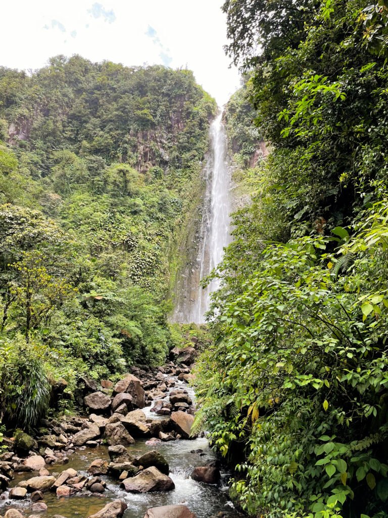
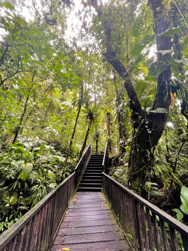
Hiking to “Les Chutes du Carbet”
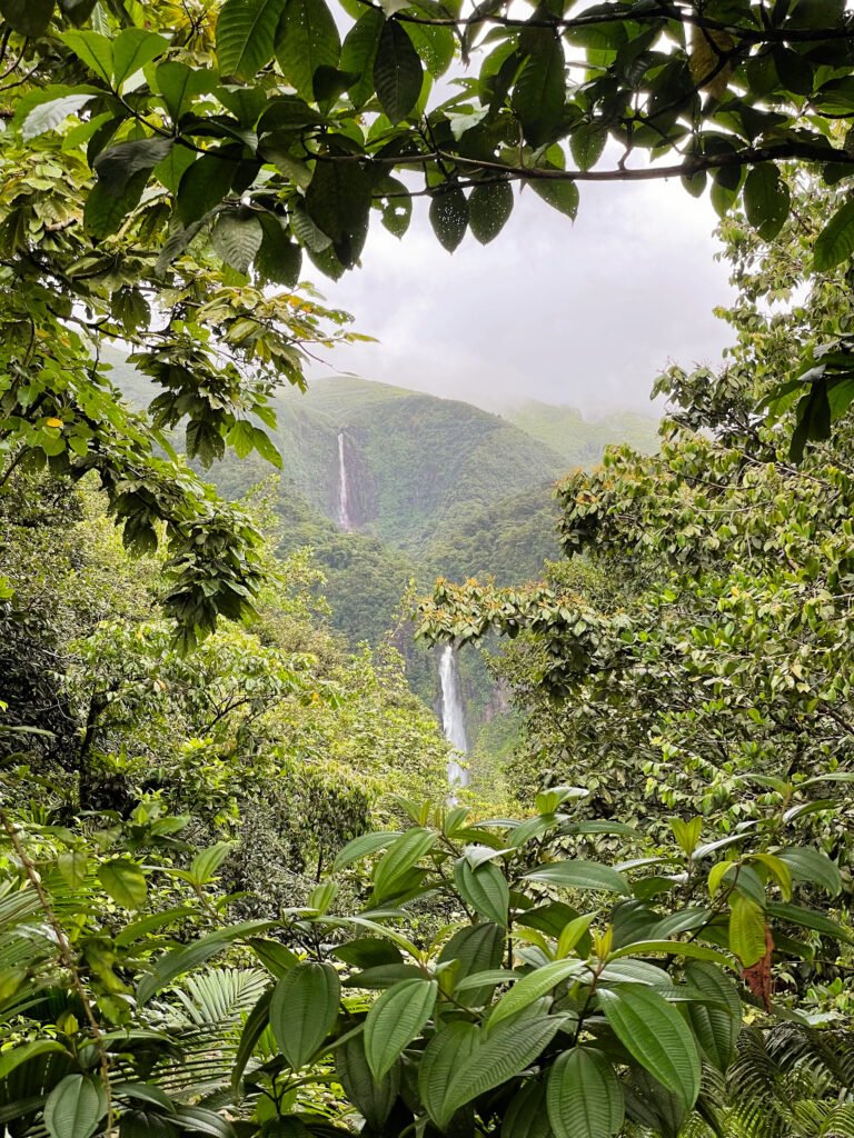
On our final day, we explored “Les Chutes du Carbet”, which are three stunning waterfalls on the Grand Carbet River. These falls are in the Guadeloupe National Park, near the base of the Soufrière volcano in the area of Capesterre-Belle-Eau. The river begins high up on the volcano, at about 1.300 meters, and travels down to the sea, dropping over the falls along the way.
First Chute du Carbet
The tallest of the three, the first fall plunges 115 meters in two stages into pools tinged red by sulfur from the volcano. It’s a cool spot to take a dip and enjoy the view. Don’t forget to look out over the ocean while you’re there—it’s breathtaking.
The hike itself is about 7 km long with a climb of 250 meters. It usually takes 3-4 hours round trip from the parking lot to complete. The path takes you along the river through lush forest, a truly beautiful trek.
How to get to the first Chute du Carbet?
To get there, drive to the “Centre d’accueil des Chutes du Carbet” in Capesterre-Belle Eau and park your car. There’s a small parking fee, and the trails are well-marked from there.
Cost
- Adults: €2.20 each
- Kids (2-12 years): €1 each
- Family (2 adults, 2 kids): €4.40 total
- Groups (8 or more): €1.50 per person
Tips:
The hike is fairly easy, but if it rains, the path can get slippery and the river might flood, so it’s sometimes closed for safety. Check the weather before you go, wear good shoes, and bring a waterproof jacket just in case.
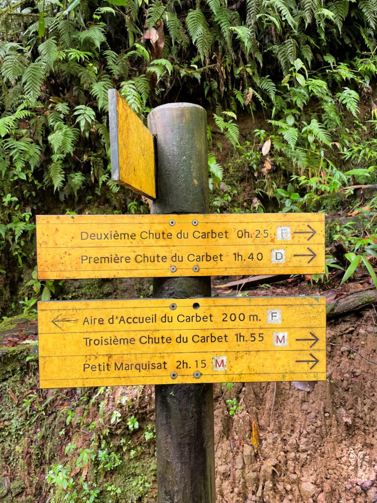

Second Chute du Carbet
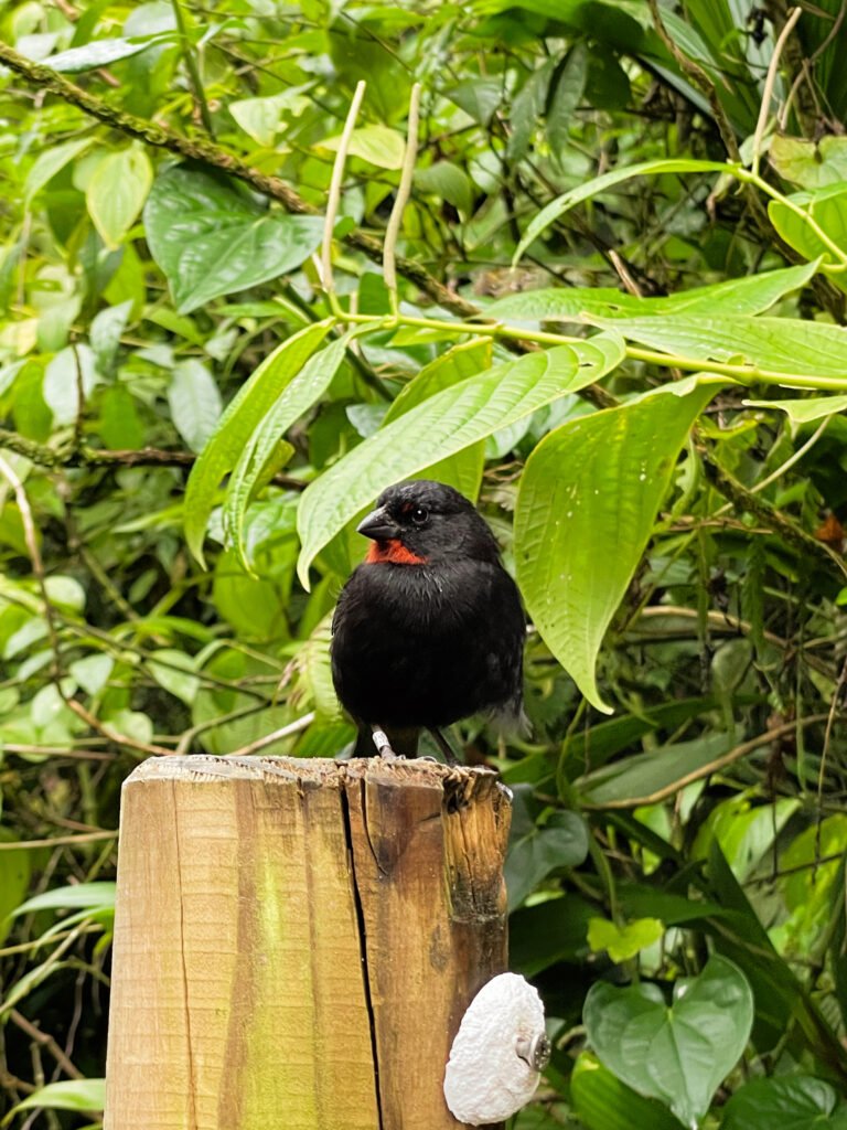
The 110m-high Second Chute du Carbet is the most touristic because it’s the most accessible. It is more of a walk and takes 45 minutes round trip from the parking lot. The path leads through the tropical forest of the Parc National de Guadeloupe, where you’ll hear many birds and see tropical plants such as tree ferns and even orchids.
The waterfall drops in a single cascade into a small circular basin, which became smaller after the landslides in 2004. Although the basin is now off-limits due to safety concerns, and swimming is no longer allowed, the spot remains a breathtaking sight in the midst of the humid forest. There’s also a nearby hot spring with water around 42°C, monitored as part of the volcanic activity observations.
Third Chute du Carbet
The Third Chute du Carbet is located outside the Guadeloupe National Park. It is 20 meters high and about 10 meters wide, and has a powerful flow. It is the largest waterfall in the archipelago.
Upon arriving, you have the opportunity to swim in the large pool where the waterfall pours. However, be cautious of the powerful water jet; it has a high flow rate and getting too close could be risky.
Due to its smaller size and location outside the National Park, this waterfall sees fewer tourists.
How to get to the Third Chute du Carbet:
Access to the third waterfall is not from the main National Park parking area in Capesterre, due to landslides in the early 2000s. Instead, you should head to a different parking area on the outskirts of Capesterre towards Routhiers. For navigation, just enter “Troisième chute du Carbet” into your GPS. It’s well marked.
One advantage of visiting this fall is that unlike the first two, access is free!
Little tip:
On the way back, stop at Grand Étang. Park in the parking lot just outside the hamlet of Habituée, on the D4. You can walk around the largest lake in the Lesser Antilles in about an hour. Additionally, you can visit the Paradis baths, springs heated by the volcano. The water temperature ranges from 32° to 39°C.